
Ha Giang Overview
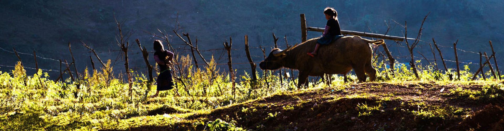
Ha Giang Province is a province in northeastern Vietnam. It is located in the far north of the country, and contains Vietnam's northernmost point. It shares a 270 km long border with Yunnan province of southern China, and thus is known as Vietnam's final frontier. The provincial capital, also called Ha Giang, is connected by Highway 2 and is 320 km away from Hanoi. The border crossing is at Thanh Thuy, 25 km from the capital, Ha Giang town. It is one of the poorest provinces of Vietnam as it has mountainous topography with the least potential for agricultural development. The province borders China with a length of over 270 kilometers (170 mi); the border gate is known as the Thanh Thuy. In addition, there are three smaller gates namely, the Pho Bang, the Xin Man and Sam Pun.
THE FABULOUS REGION OF HA GIANG
The province of Ha Giang, bordering China and located in the extreme northeast of Vietnam, is certainly one of the most breathtaking in the country. From the eponymous provincial capital, it is quite interesting to hike on the slopes of the Tay Con Linh massif culminating at 2419 meters. Then go on an adventure on the grandiose road that crosses the Dong Van karst plateau to discover all the natural and cultural wonders of this unique region.
Hilights:
The crossing of the Dong Van karst plateau
The Quan Ba Heaven Gate
Visits of ethnic villages
Ancient Hmong Kingdom
The ethnic markets of the Ha Giang region
Ma Pi Leng Pass
The Flag Tower of Lung Cu
Best time to go to Ha Giang
We advise you to visit Ha Giang between April and December. Except for the months of June, July and August which are very hot and sometimes rainy, you will be able to enjoy beautiful sunny days and be to appreciate the colour variations of the rice fields and the limestone mountains.